
Cancel Drawing
Show Tutorial


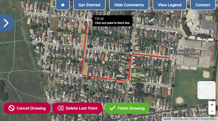
Step One: Using your mouse or touchscreen, left click on or touch the map to show where you begin your trip.
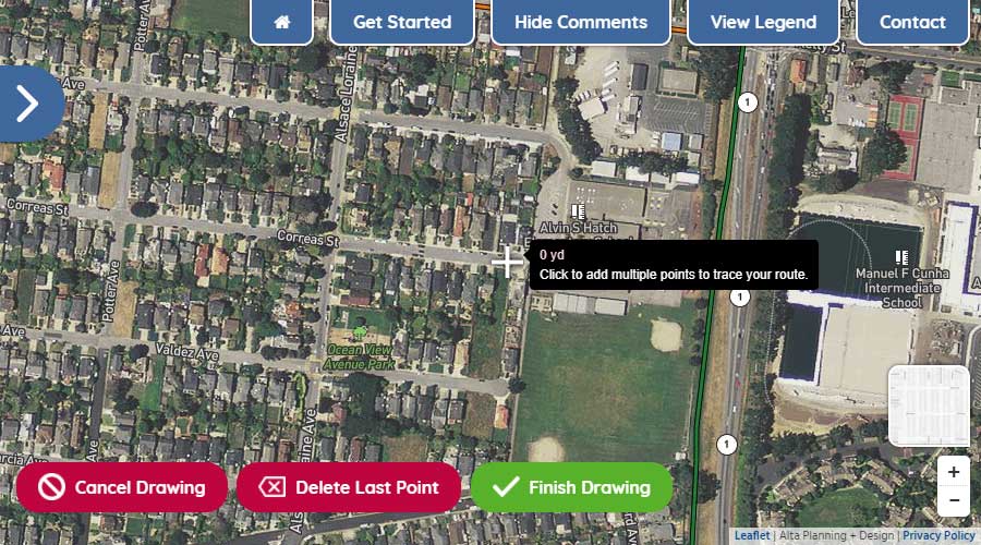
Step Two: With the first point drawn, continue by left-clicking or touching the map to show where you turn along your route.
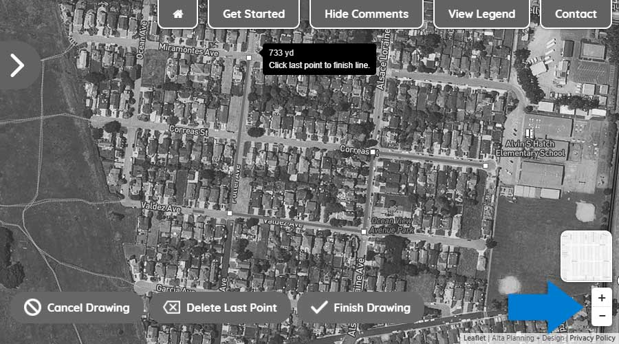
Step Three: To move the map while drawing your route, hold down your left button on your mouse and move the mouse to get to your desired location on the map or simply drag the map with your fingers on your touchscreen. To zoom in and out, use the wheel on your mouse or use the +/- icons in the lower right of your screen.
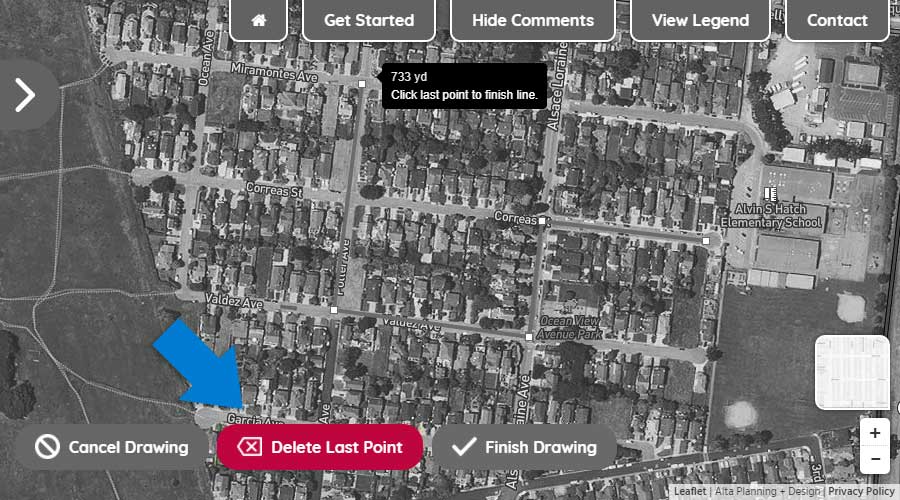
Step Four: To delete the last drawn point on your route, click the "Delete Last Point" button.
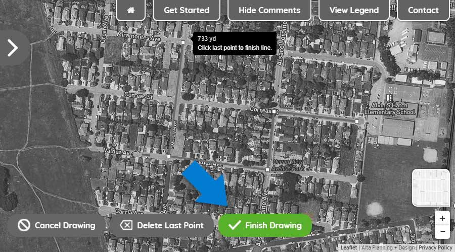
Step Five: To finish drawing your route, double click on the final point or click the "Finish Drawing" button.
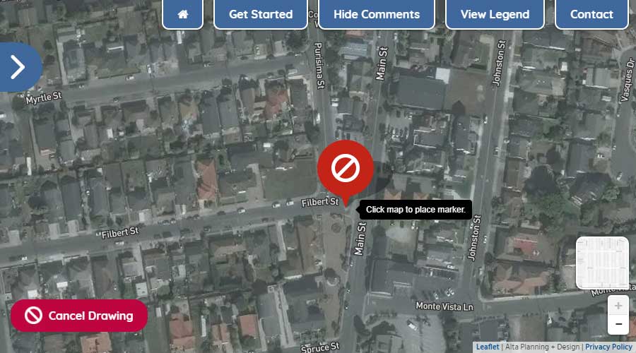
Using your mouse or touchscreen, left click on or touch the map to add a marker to the map.
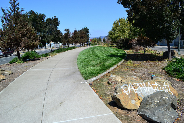
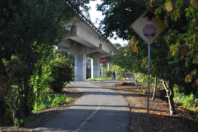
Paths shared by people walking and biking completely separated from motor vehicle traffic. These facilities tend to be comfortable for people of all ages and abilities.
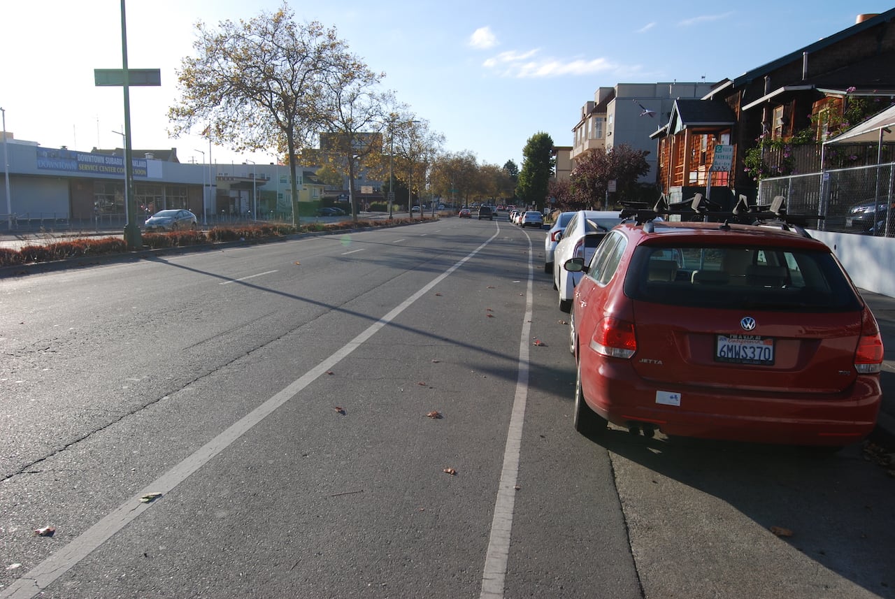
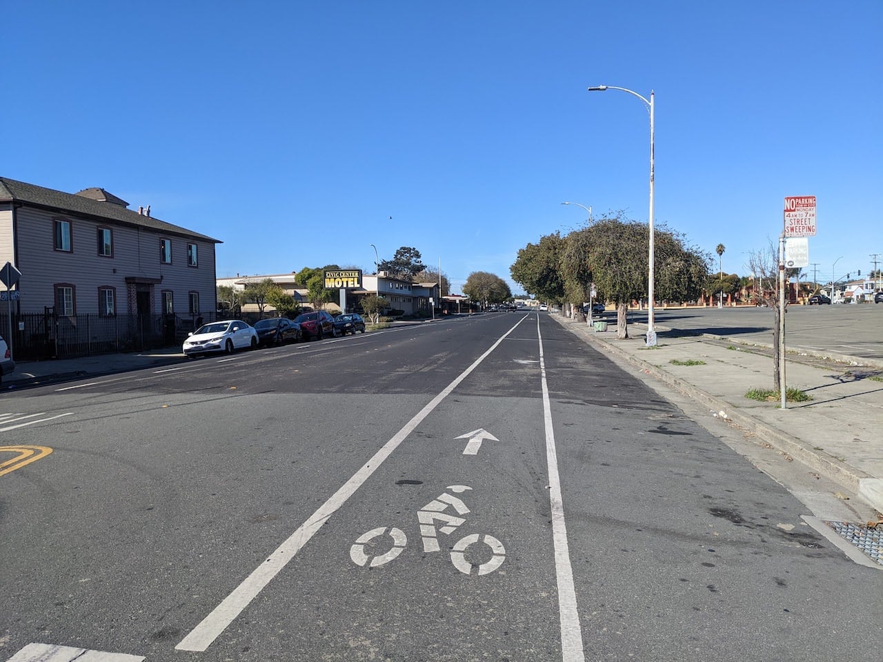
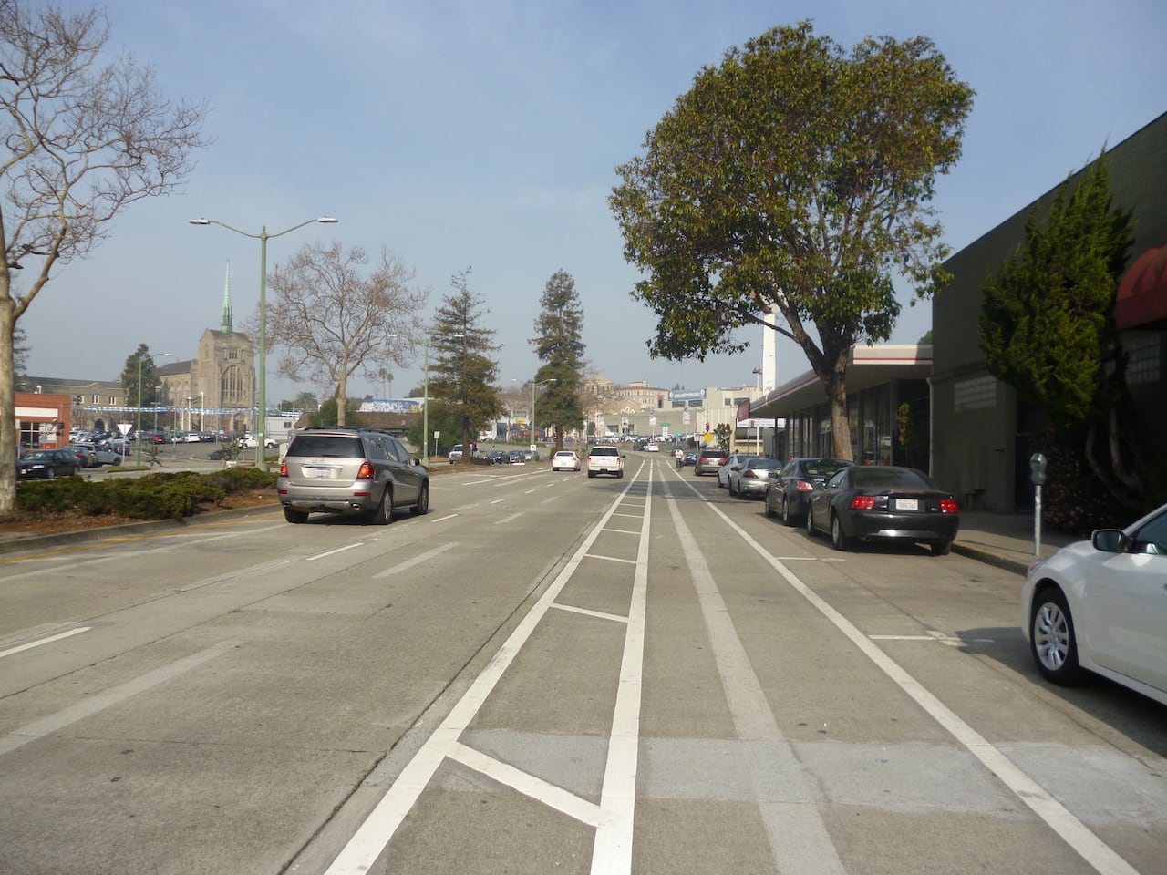
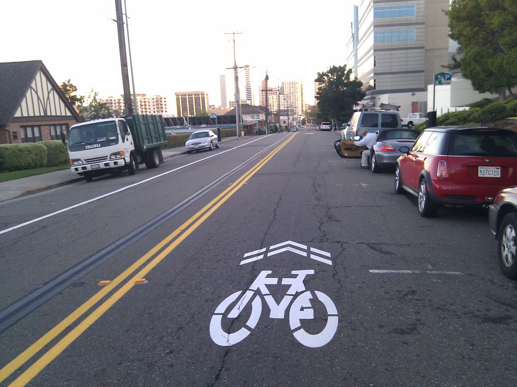
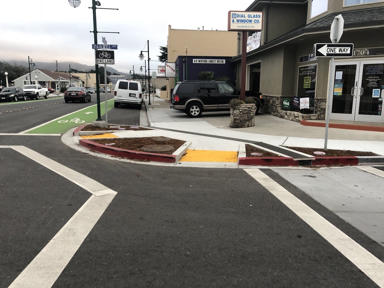
A painted lane that provides dedicated roadway space for people bicycling. Bicycle lanes work best on lower-speed roadways.
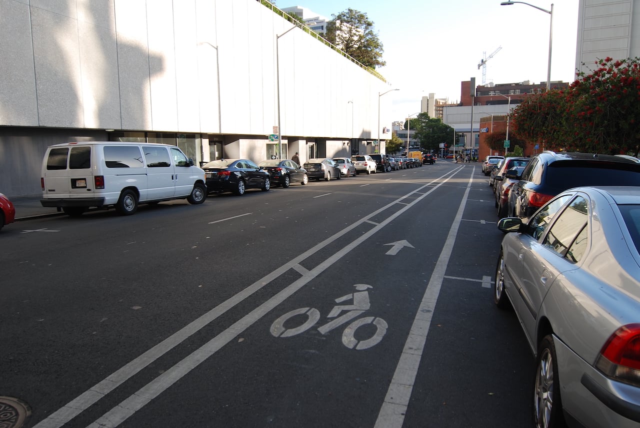
Dedicated lanes for bicycle travel adjacent to motor vehicle traffic and enable people biking to ride at their preferred speed without interference from cars or traffic conditions. They include painted lane lines or buffers that provide space between motor vehicle traffic or parked vehicles.
Bicycle routes are shared roadways. These streets are characterized by additional pavement markings (sharrows) and signs indicating the expected presence of bicyclists. Typically found on neighborhood streets or similar streets experiencing low-traffic volumes.
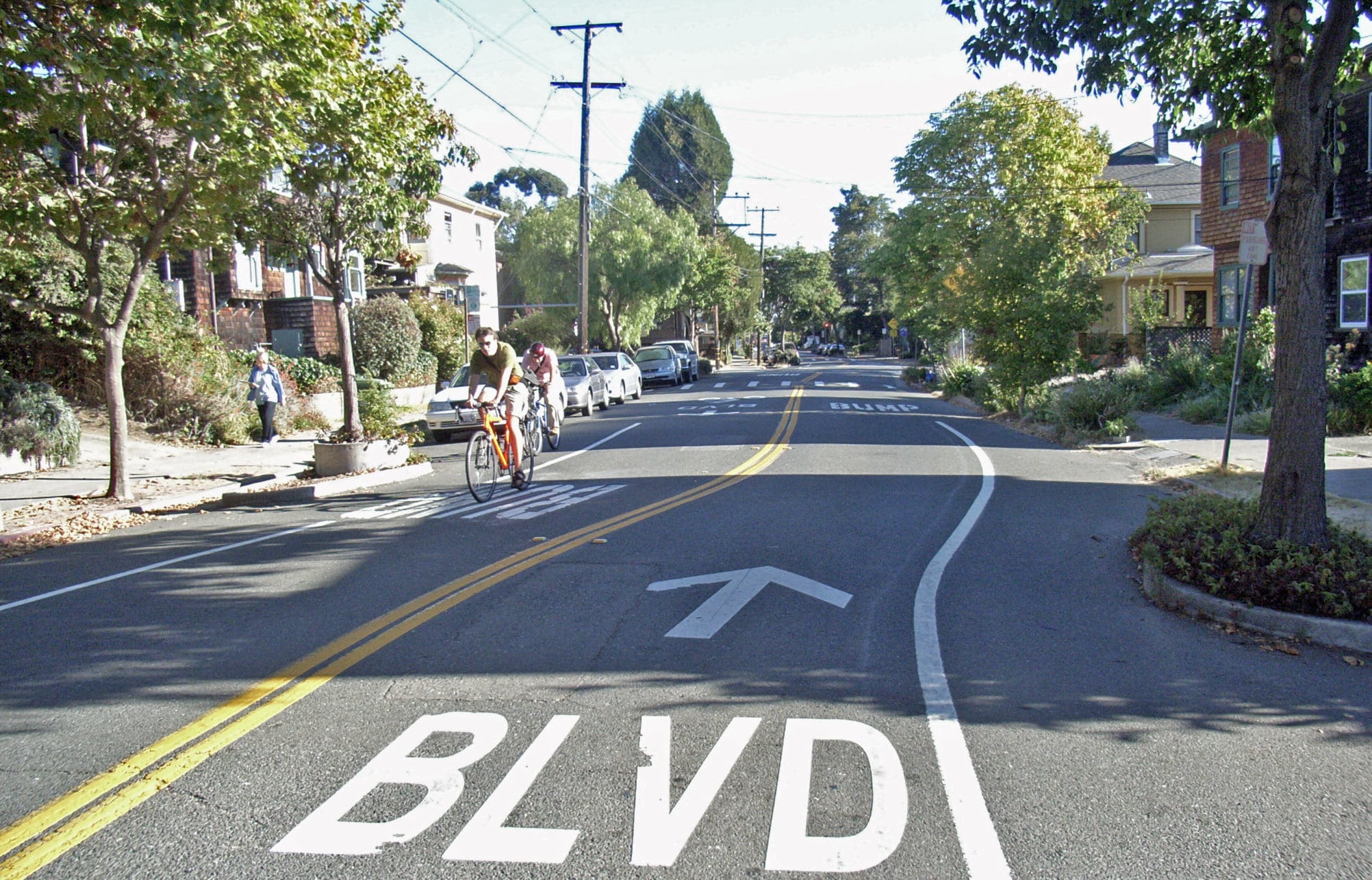
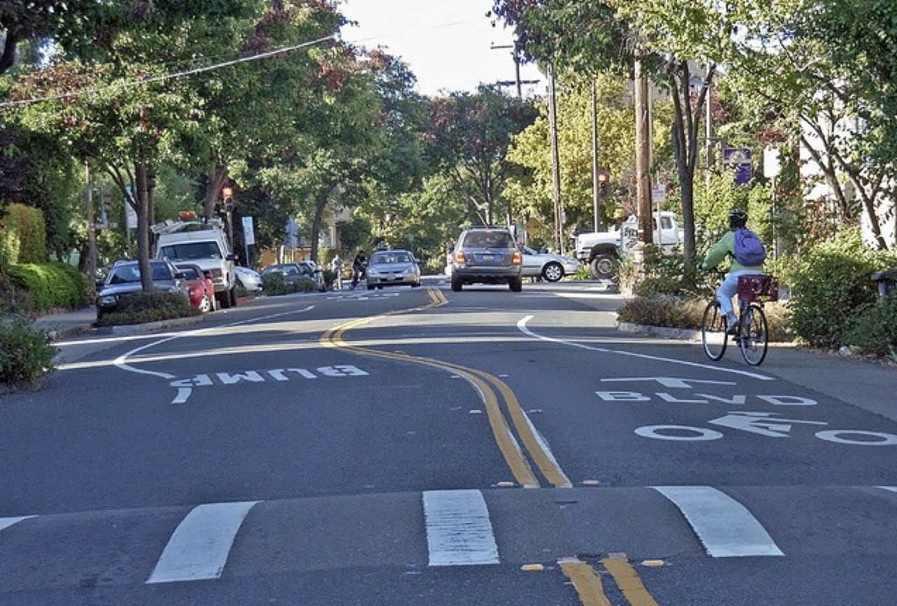
Bicycle boulevards are roads that have traffic calming features and prioritize people biking and walking. These are commonly designated on neighborhood streets. Traffic calming features can slow down people driving making neighborhood streets more comfortable for active transportation.
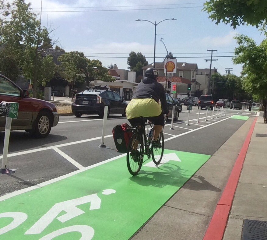
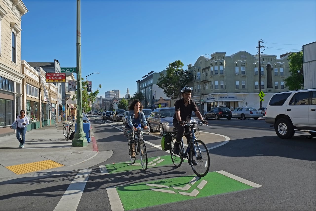
Bike lanes separated from motor vehicle traffic by curbs, medians, planters, parking, or other physical barriers. They can be one or two-way facilities and tend to provide comfort for people of all ages and abilities.
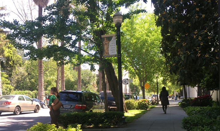
Provide an area for people walking to travel separated from vehicle traffic. Typically constructed out of concrete and separated from the roadway by a curb or gutter and sometimes a landscaped buffer.
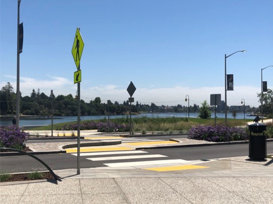
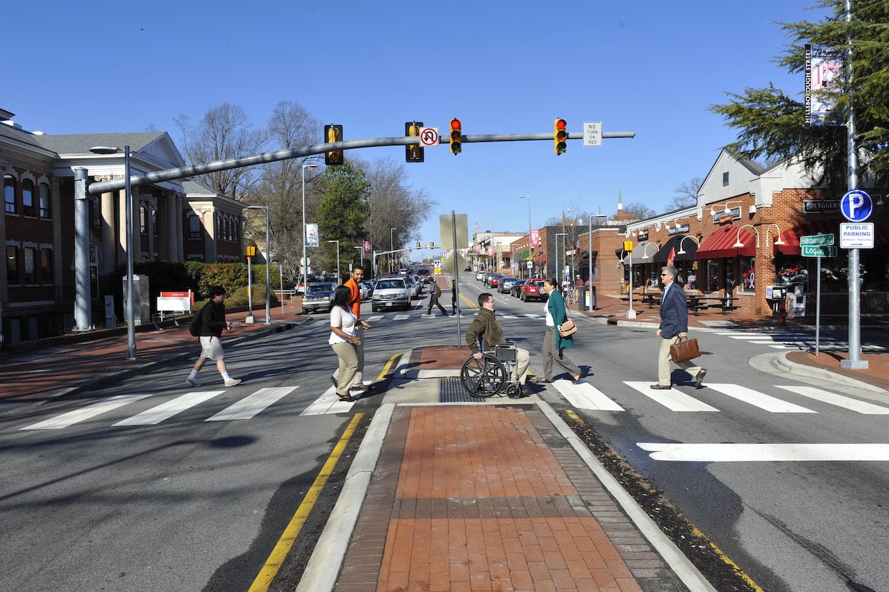
Median refuge islands shorten the crossing distance for people biking and walking and increase their visibility.
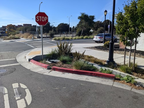
Curb extensions extend the curb into the street and improve visibility at intersections, and slow vehicular turning speeds.
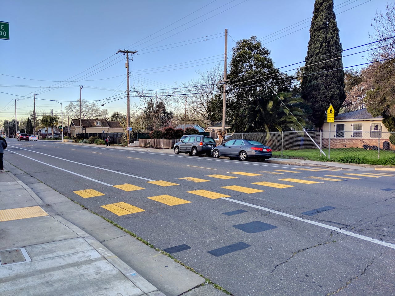
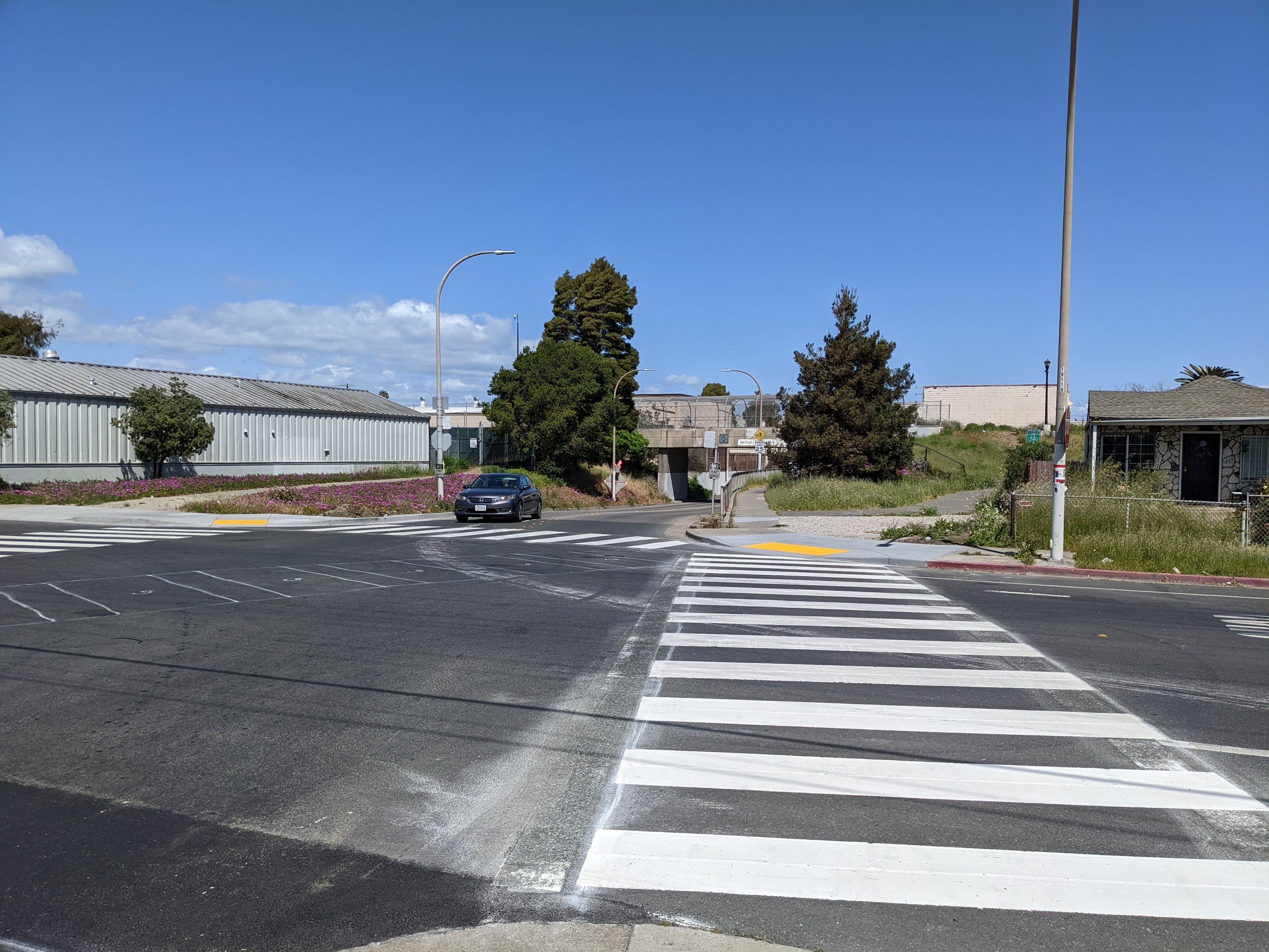
Marked crosswalks make motorists aware that they must yield to pedestrians.
Pedestrian Hybrid Beacons are used to improve unsignalized intersections or midblock crossings of major streets. They are only activated when pedestrians or bicyclists are present, resulting in minimal delays for users.
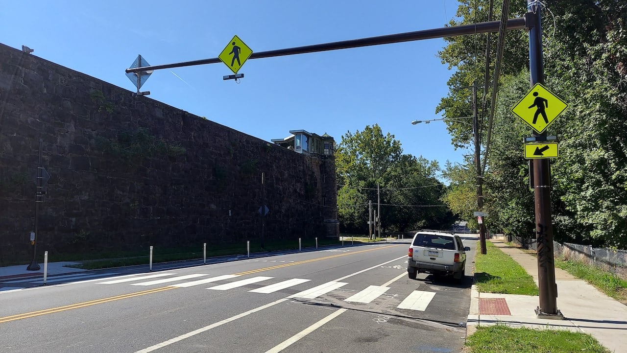
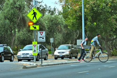
Rectangular Rapid Flashing Beacons (RRFB) are a type of active warning beacon used at unsignalized crossings. They are designed to increase motor vehicle yielding compliance on multi-lane or high-volume roadways.
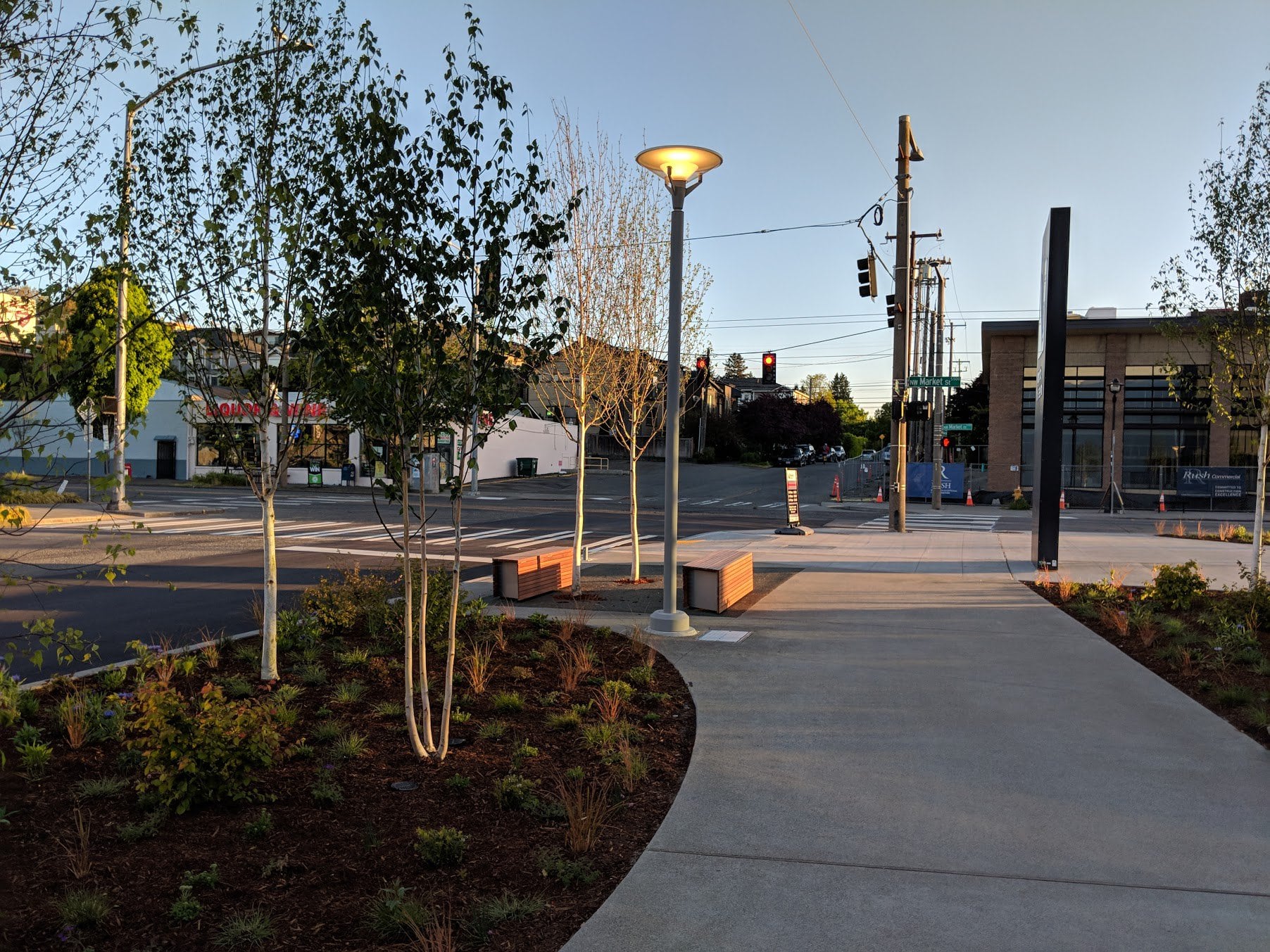
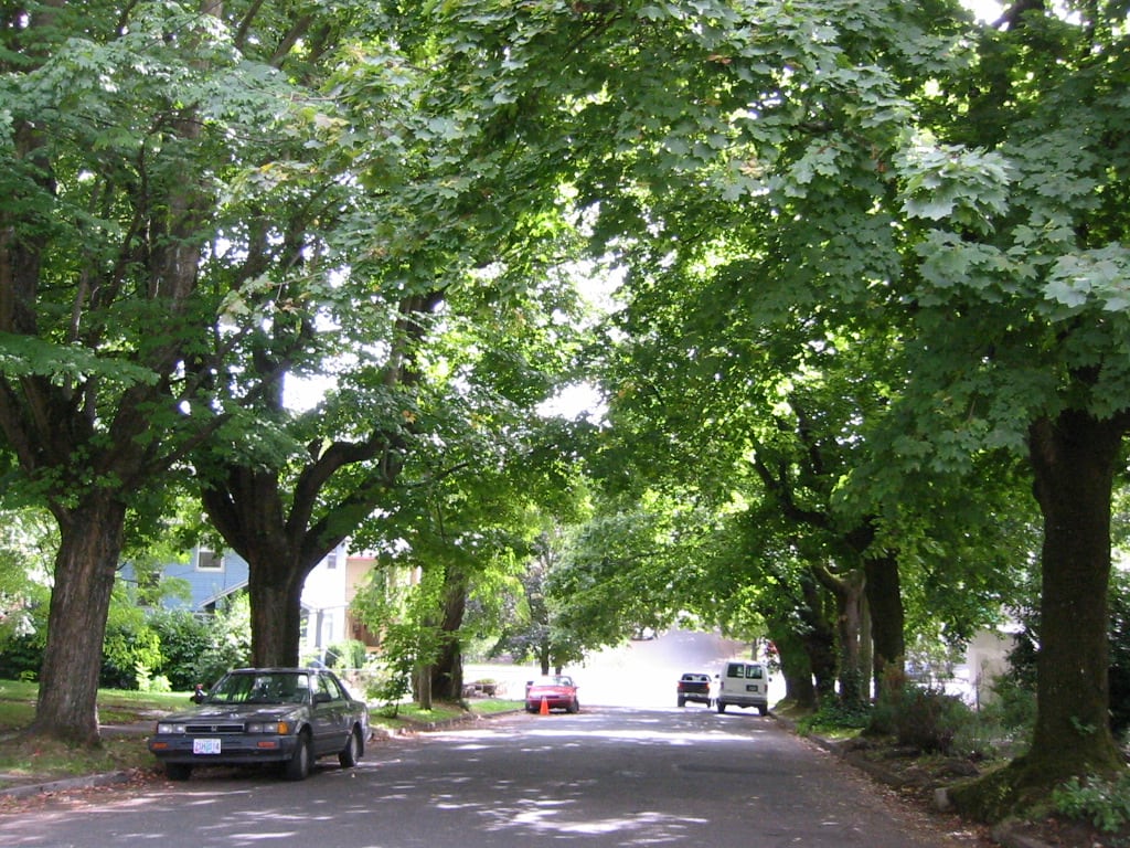
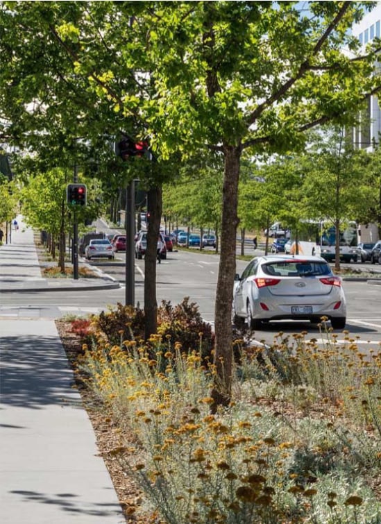
Can increase comfort for people walking and biking by lowering temperatures, filtering air and water, and improving the quality of both.
Create expanded space for roots so trees can grow faster;share nutrients; better resist disease, pests, and drought; and live longer. Can serve to capture storm-water recharge, and potential storage opportunity.